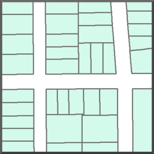
This shapefile includes the following:
CityNeenahParcel.dbf
CityNeenahParcel.prj
CityNeenahParcel.shp
CityNeenahParcel.shx
FieldsParcel.pdf
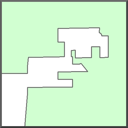
This shapefile includes the following:
CityNeenahBoundary.dbf
CityNeenahBoundary.prj
CityNeenahBoundary.shp
CityNeenahBoundary.shx
FieldsBoundary.pdf
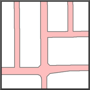
This shapefile includes the following:
CityNeenahROW.dbf
CityNeenahROW.prj
CityNeenahROW.shp
CityNeenahROW.shx
FieldsROW.pdf
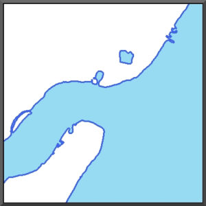
This shapefile includes the following:
CityNeenahWater.dbf
CityNeenahWater.prj
CityNeenahWater.shp
CityNeenahWater.shx
FieldsWater.pdf
This shapefile includes the following:
CityNeenahCenterline.dbf
CityNeenahCenterline.prj
CityNeenahCenterline.shp
CityNeenahCenterline.shx
FieldsCenterline.pdf