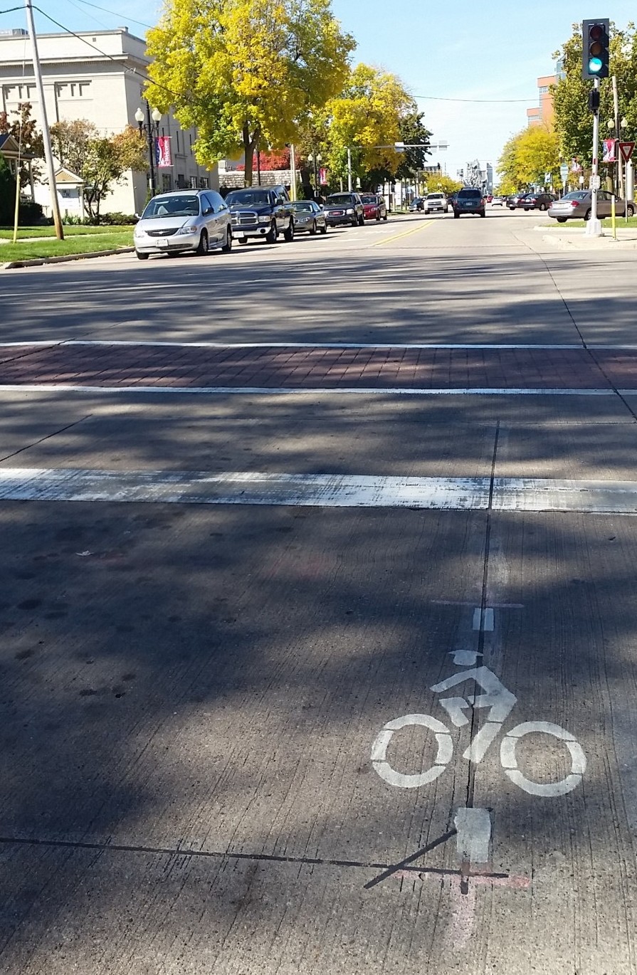
 You may have noticed some small bike symbols with a longitudinal white lines on either side (pictured left) that have been recently installed at some of Neenah’s signalized intersections. These symbols indicate where a bicyclist can get detected in order to get the green signal.
For the bicyclist to be properly detected, the bicycle has to be oriented directly over the symbol so that the tires are on top of the the white lines. The symbol may be found either at the center or the side of a marked lane, depending on the location and sensitivity of the detector.
Currently the signalized intersections that have the symbols are listed below. As detection improvements are made, the remaining detection-dependent signalized intersections will be added to the list.